Description
Madagascar Travel Reference Map
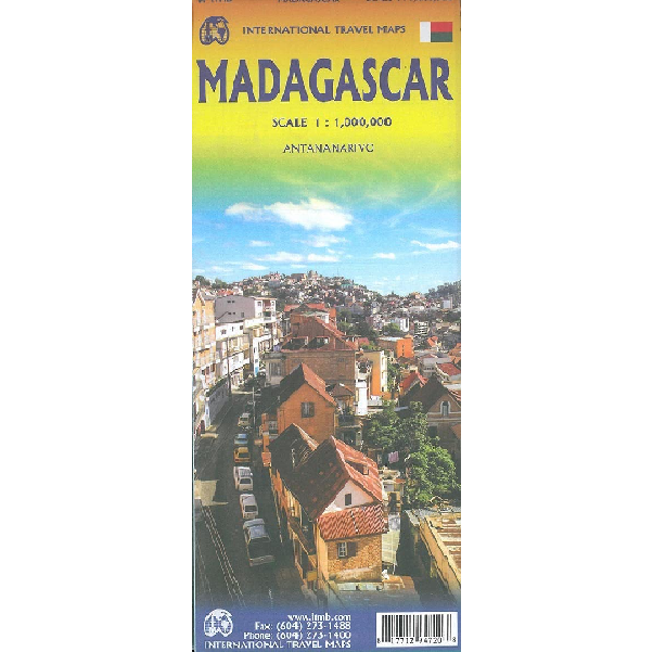
This Madagascar Travel Reference Map from ITMB is a double-sided, fold-out map of the island country in a 1:1,000,000 scale.
The island of Madagascar retains a refreshingly relaxed ambiance for visitors. In part, this is due to having a government that does little to encourage modernization, but the result is colonial architecture, sleepy towns, and the ability to see a society that is different.
This map, now into its sixth rendering, has changed little in the two decades that ITMB has been mapping the Malagasy Republic. This island in the Indian Ocean is filled with exotic names such as Farafangana, Antsiranan (formerly Diego Suarez), and Morondava.
Includes:
- Roads by classification
- Airports
- Bus Stations
- Hospitals
- Lighthouses
- Points of Interest
- Archeological Sites
- Historical Sites
- Gas Stations
- Museums
- Lodgings
- Ferries
- Beaches, and more!


Reviews
There are no reviews yet.