Description
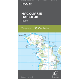
Macquarie Harbour 1:50,000 Topographic Map
Macquarie Harbour estuary dominates this map. It is surrounded by lush cool temperate rainforest, button grass moorlands, isolated beaches and bays which can only be accessed by boat or on foot.
The Sarah Island Penal Station, regarded as one of the harshest in Australian colonies, was established in 1822. The entrance to the harbour was named “Hells Gates” by convicts, as it was the entrance to the hell of the penal station. The popular, historical West Coast Wilderness Railway travels between Queenstown and Strahan through breathtaking rain-forested hills, crossing many bridges over the King River.
This map is ideal for recreational activities such as boating, bushwalking and exploration.