Description
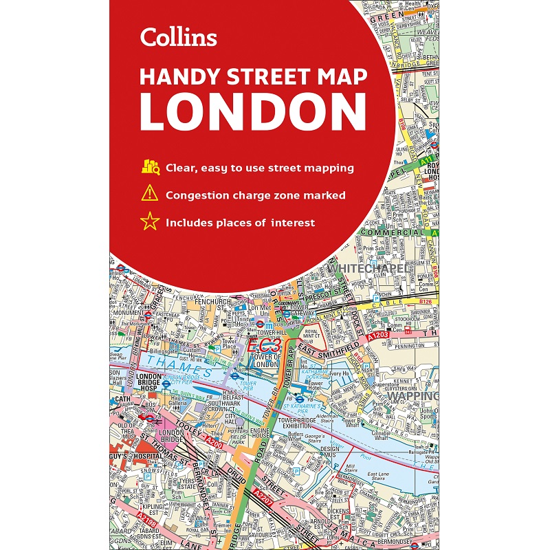
London Handy Street Map
The London Handy Street Map is an essential companion whether you are travelling around London by car, public transport or on foot.
It is a clear and easy-to-read map of London with detailed mapping at a scale of 1:17,500, presented in a handy compact format.
The area of coverage extends from Hampstead in the north to Clapham in the south, and from Hammersmith in the west to Greenwich in the east.
This map includes:
- Electric car recharging sites
- Fully classified roads
- Congestion charging zone & T-charge (Ultra Low Emission Zone from April 2019)
- Postal districts and boundaries clearly depicted
- Full indexes to street names (on back of map), place names and places of interest
- London underground map conveniently located on the back cover


Reviews
There are no reviews yet.