Description
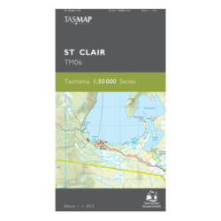
Lake St Clair Day Walks Map
Carved out by ice during several glaciations over the last two million years, this is the deepest lake in Australia and the headwaters of the Derwent River, upon which the capital city of Tasmania is located.
This map highlights the walking tracks and features tourist information along with general topographic detail. The notes on the reverse side contain information on the walking tracks around the lake and nearby mountains, bushwalking tips and safety essentials.
Features on this map include Mt Rufus (1416m), Mt Olympus (1472m), Mt Othrys (1279m), Mt Ida (1241m), Mt Hugel (1403m) and Derwent Bridge.
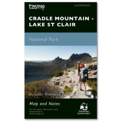
The area around the lake offers a wealth of walks, ranging from leisurely strolls to overnight bushwalks, as well as beautiful forests to explore. Lake St Clair is also the end point of the famous Overland Track, a long-distance walk which runs from Cradle Mountain in the north to Cynthia Bay on the southern shore of the lake.
For all snow and road closure or condition advisories, contact the Lake St Clair Visitor Centre: phone 03 6289 1172


