Description
Kilimanjaro & Tanzania North Travel Map
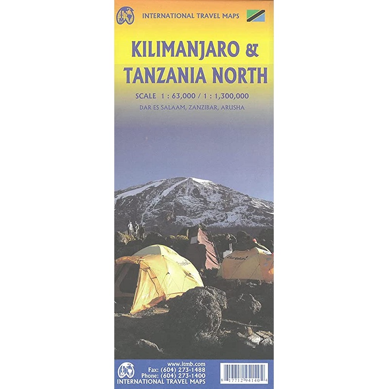
The Kilimanjaro & Tanzania North Travel Map from ITMB is a double-sided, fold-out travel and reference map, in scales of 1:63,000 and 1:1,300,000.
Kili remains eternally popular. This most recent update includes a listing of Top attractions for this dormant volcano. It has three volcanic cones: Kibo, Mawenzi, and Shira. It is the highest mountain in Africa and the highest single free-standing mountain above sea level in the world: 5,895 metres above sea level and about 4,900 metres above its plateau base.
The reverse side of the map covers all of northern Tanzania and the portion of Kenya that includes Nairobi. The islands of Pemba and Zanzibar are also shown. This side also includes an inset map of Arusha, the town from which almost all treks to Kilimanjaro begin, an inset of Dar es Salaam, and another of Stone City, in Zanzibar.
Tanzania is an East African country known for its vast wilderness areas. They include the plains of Serengeti National Park, a safari mecca populated by the “big five” game (elephant, lion, leopard, buffalo, rhino), and Kilimanjaro National Park, home to Africa’s highest mountain.
Offshore lie the tropical islands of Zanzibar and Pemba.


Reviews
There are no reviews yet.