Description
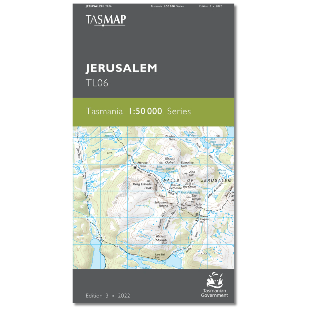
Jerusalem 1:50,000 Topographic Map
This Jerusalem 1:50,000 map is centred about the iconic and picturesque Walls of Jerusalem and includes the northern part of the national park bearing that name.
The map also shows eastern approaches to Cradle Mountain Lake St Clair National Park via the River Forth and Mersey River. A significant part of the elevated Central Plateau Conservation Area is covered by the eastern half of this map which is a fantastic navigation aid for walkers and wilderness fisherfolk.
This map is one of three in this series that covers the Overland Track.


