Description
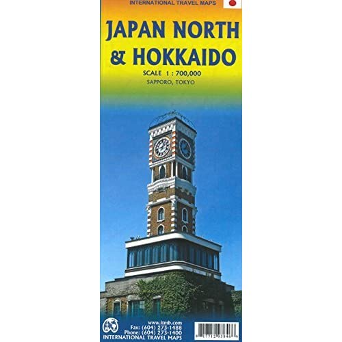
Japan North & Hokkaido Map
The Japan North & Hokkaido Map covers an area of a country larger than most people realise! Japan itself divides quite nicely into two halves – west of Tokyo and north of Tokyo.
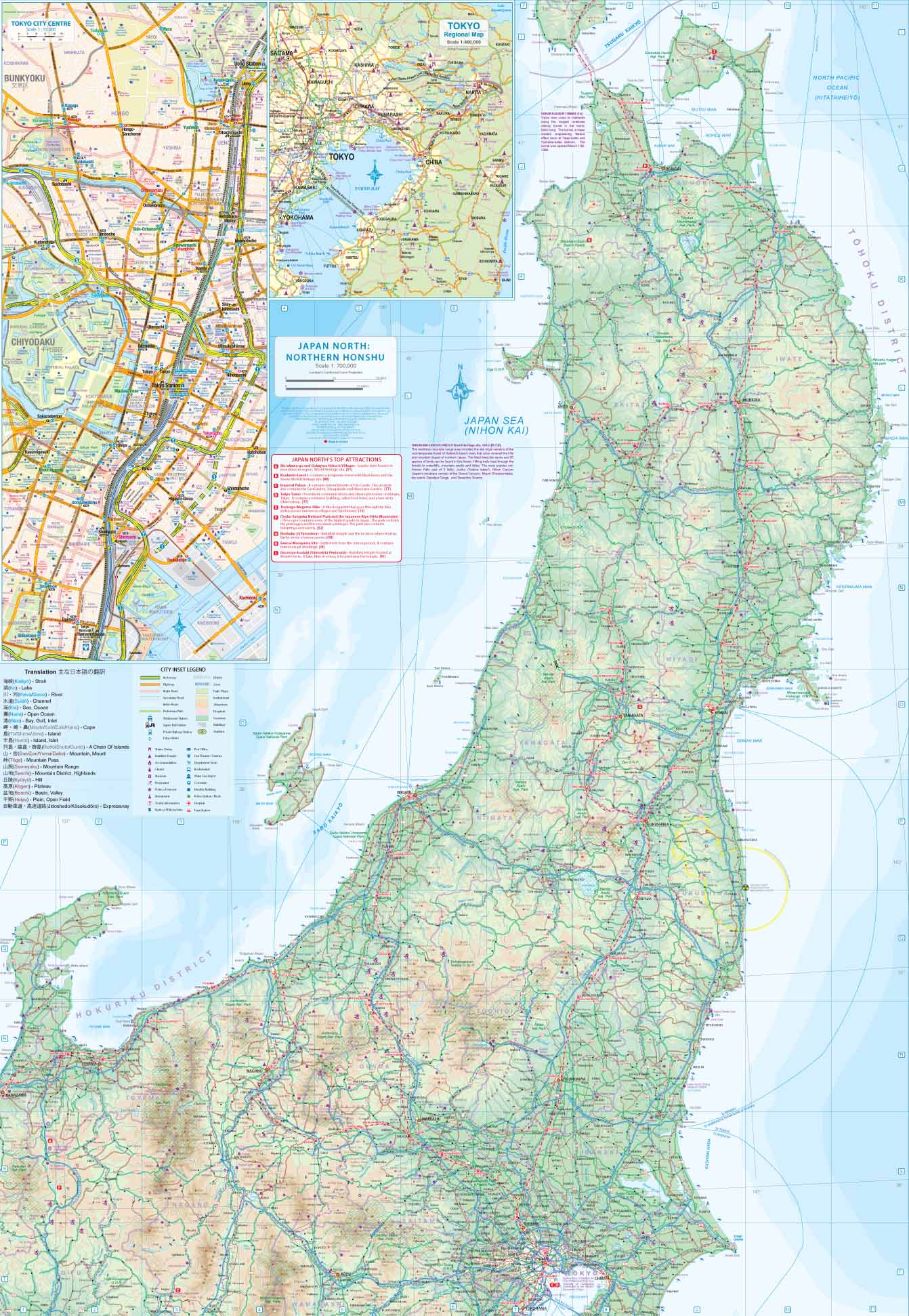
The north itself divides nicely into two parts; the main island with interesting cities to explore, and the island of Hokkaido, with its capital of Sapporo. This map concentrates on the northern portion of Edo, the main island forming Japan, with the Shinkensen train lines shown separately from the regular train lines.
Most visitors to Japan use the excellent JBC rail pass to explore the country, and cities such as Nagano or Nigata are only a few hours away from Tokyo. Further north, Aomori is the junction for trains serving the relatively remote west coast and the new Shinkensen line going under the Tsugaru Strait to Hokkaido, the longest undersea tunnel in the world.
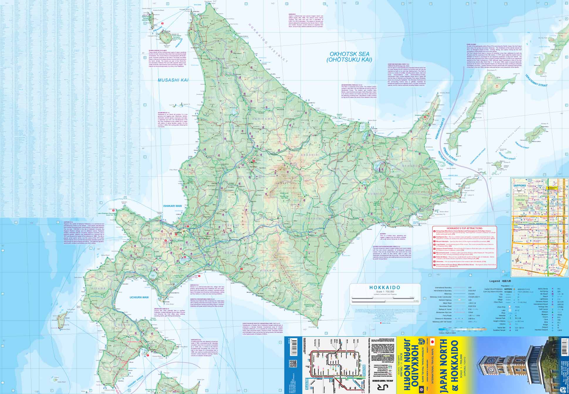
The second side of the map concentrates upon the large island of Hokkaido, which is rather remote in Japanese thinking, but is very interesting. It is less populous than the rest of Japan, and is more ‘American’, thanks to the early efforts at modernizing Japan. Sapporo, as a city, could easily be mistaken for being a mis-placed North American city. Hakodate, at the southern end of the island, has an American fortress, circa US civil war era construction, and the eastern portion of the island is very close to the Kuril Islands, seized by Soviet Russia at the end of WW2 and never returned to Japan.
The area around Kotan contains several hot springs, and there are numerous ski resorts in winter months; altogether, an interesting part of Japan.


Reviews
There are no reviews yet.