Description
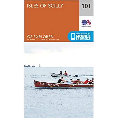
Isles of Scilly Explorer Map
The essential map for outdoor activities in the Isles of Scilly. The OS Explorer Map is the Ordnance Survey’s most detailed folding map and is recommended for anyone enjoying outdoor activities including walking, horse riding and off-road cycling. This map now comes with a digital version which you can download to your smartphone or tablet.
Providing complete GB coverage, the OS Explorer map series details information essential in the great outdoors, including youth hostels, pubs and visitor information. Rights of way, fences, permissive paths and bridleways are clearly shown, ensuring you have the best information to get the most out of your time in the countryside.
Features: St. Michael’s Way, South West Coast Path (National Trail), Cornwall, Hugh Town.


Reviews
There are no reviews yet.