Description
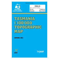
Inglis 1:100k Topo Map
The Inglis 1:100,000 Topographic Map covers an area in the north of Tasmania that includes the northern coastline from Blythe Heads to Rocky Cape.
The towns of Burnie, Somerset, Wynyard and Boat Harbour feature on this map.
The Black Bluff Range features in south-east of the map which includes Black Bluff (1339m).
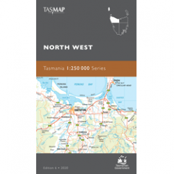
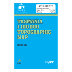
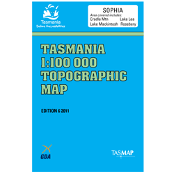
Adjoining maps in this series are Arthur River (West), Forth (East), Sophia (South) and Circular Head (North-west).

