Description
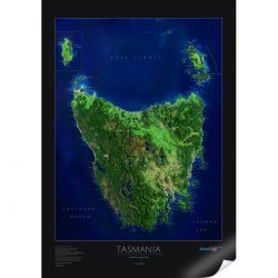
Historic Tasmanian Railways Map
This Historic Tasmanian Railways Map is an A1 sized map showing the development of railways in Tasmania from the time of the convict railway at Port Arthur to the present.
All lines whose operations included the provision of public passenger services have been included regardless of the gauge, type of rail (some wooden railed lines have been included) or mode of traction – whether steam, diesel, horse or human.
Features
- All passenger lines and stations and several of the more significant industrial and wharf lines.
- Information on the dates of opening and closing of lines.
- All closed lines which are now dedicated tourist lines
- A1 (841mm x 594mm) on archival quality paper for convenient framing


