Description
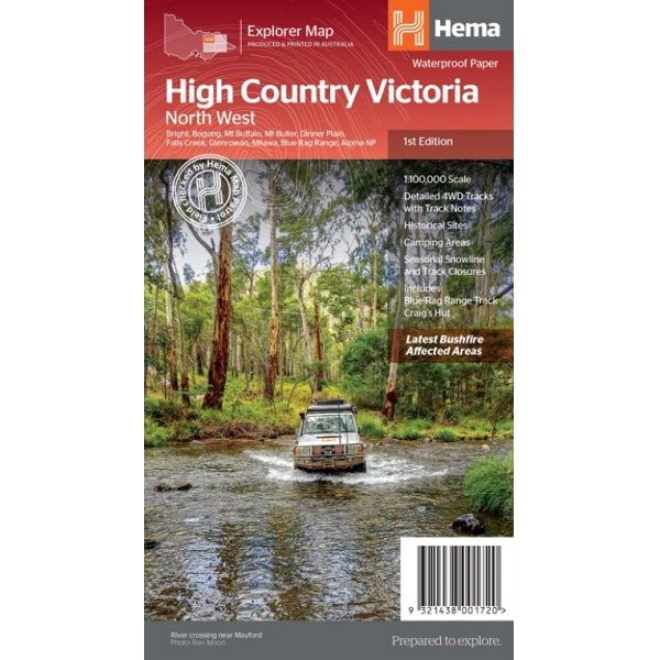
High Country Victoria North West Map
The High Country Victoria North West Map is part of Hema’s new Victorian High Country Map Series and covers the North Western Alps Area including Hotham, Wangaratta and surrounds.
Towns featured include: Bright, Bogong, Mt Buffalo, Mt Buller, Dinner Plain, Falls Creek, Glenrowan, Milawa, Blue Rag Range, Alpine National Park.
Tracks include: Blue Rag Range Track, Craig’s Hut.


Reviews
There are no reviews yet.