Description
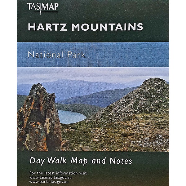
Hartz Mountains Day Walk Map
The Hartz Mountains Day Walk Map on one side features a 1:50k map of the Hartz Peak and surrounds. Highlighted are walking tracks, huts and shelters and also featured is tourist information along with general topographic detail.
The notes on the reverse side introduce visitors to the vegetation, land forms, animals, history of the area and bushwalking tips.
For a map covering a greater area, see the Hartz 1:50k Topo Map, also from Tasmap.


