Description
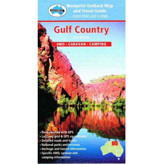
Gulf Country Map
The Gulf Country Map covers Australia’s unique Gulf of Carpentaria – with a rich Aboriginal history spanning thouands of years. European interest in the coastline dates back to the 1600’s and land exploration commenced in 1845.
Westprint maps feature cross-referenced points of interest, Grid Lines for GPS referencing and numbered GPS locations list, Historical and Exploration related information and Explorers tracks on most maps. Travel tips plus information relating to 4WD, Camping and Caravanning,Permits and important phone numbers are included where applicable.


Reviews
There are no reviews yet.