
Description
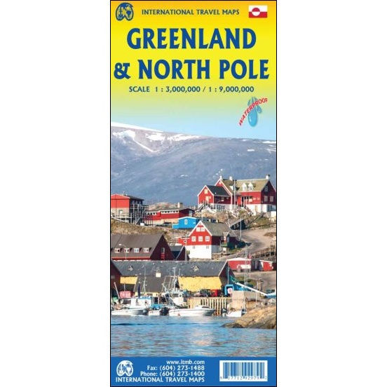
Greenland & North Pole Map
The Greenland & North Pole Map from ITMB features Greenland in 1:3,000,000 scale on one side, and the Arctic north of 60′ latitude at 1:9,000,000 scale.
The map of Greenland has elevation coloring for the coastal areas, with spot heights also shown in the interior. Main settlements are marked and the map shows local airfields and heliports, as well as ferry connections along the south-western coastline. The map is indexed and has latitude and longitude lines at intervals of 3° and 6° respectively. Also included are notes on various aspects of Greenland’s history, geography, climate, places of interest etc.
The second side of the sheet is a separate map of the entire North Polar Region, centred on the true North Pole itself. The Polar Region consists of everything north of the Arctic Circle, but this map extends the concept southward to the 55th parallel, thereby including all of Scandinavia, including Denmark, as well as all of northern Canada, northern Russia, Greenland, Iceland, Alaska, and even Scotland, Estonia, and Latvia. A tiny portion of Ireland and a goodly chunk of Belarus also fall into the range of this map.
Reviews
There are no reviews yet.