
Description
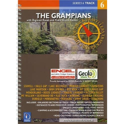
The Grampians Touring and Road Map
The Grampians Touring and Road Map covers the entire Grampians National Park at a handy 1:125,000 scale. This map stretches from Dunkeld in the South, out to Stawell in the East and Cavendish in the West.
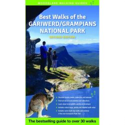
The Grampians National Park nature reserve in Victoria, Australia is known for its sandstone mountains, wildflowers and wildlife including echidnas and wallabies.
Near the village of Halls Gap, the Brambuk Aboriginal Cultural Centre gives insight into local Aboriginal history and rock art. Trails lead to waterfalls like towering MacKenzie Falls and lookouts such as the Balconies, with views of the Victoria Range.
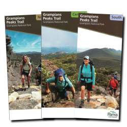
For more detailed maps, see the Grampians Peak Trail Map Pack


Reviews
There are no reviews yet.