Description
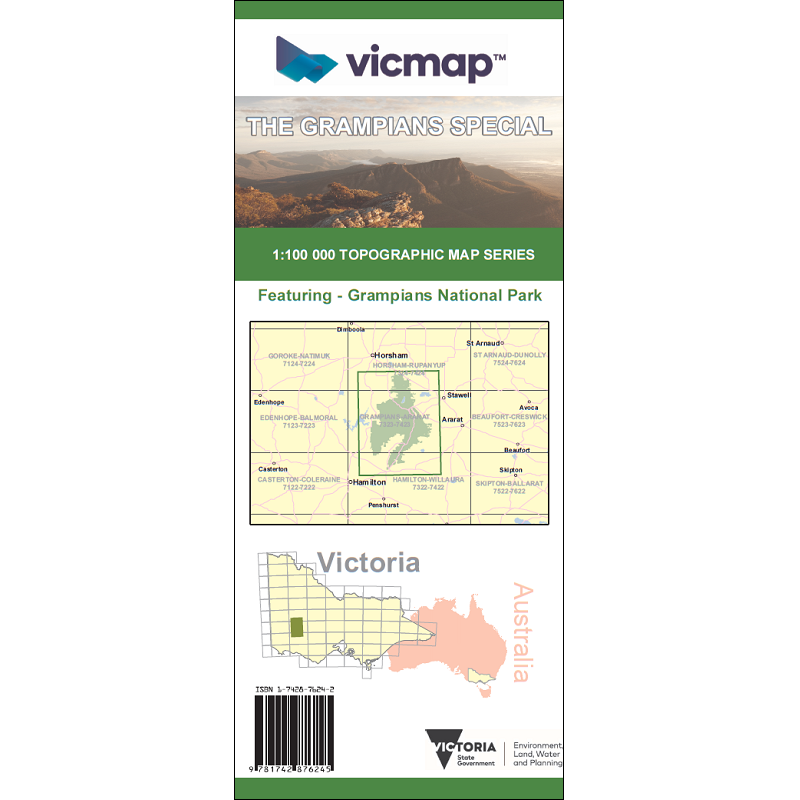
Grampians Special Map
The Grampians Special Map is produced by Vicmap and covers the Grampians Range in 1:100,000 detail.
Features included on Vicmap maps:
- Constructed: roads, railways, buildings, airports, walking tracks and wind turbines
- Administrative: local government areas, crown land, state and international borders, and place names
- Natural: vegetation, national park areas, rivers, and coastal features
- Terrain: contours, mountains, valleys and cliffs
Vicmap Topographic Mapping is perfect for recreational activities allowing users to plan their outdoor activities.
They are also used by emergency services for planning and operations during an emergency event such as bushfire, flooding or search and rescue operations.
Other uses include urban planning, site analysis, flora and fauna surveys, education, military exercises, geoscience industry such as mining, and to establish legal boundaries and ownership.


Reviews
There are no reviews yet.