Description
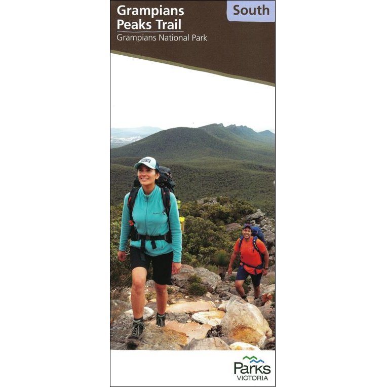
Grampians Peak Trail Map South
The Grampians Peak Trail Map South covers this section of Victoria’s newest long-distance trail.
Established by Parks Victoria, the trail starts in the north of the Grampians at Mt Zero and finishes 164kms later in Dunkeld. Designed as a 12-13 day trip, it can be done in sections.
The laminating used on these maps is extremely-thin, and foldable. This means your maps are waterproof and rugged for your trek!
This map covers the southern section at 1:50,000 from Jimmy Creek Road to Dunkeld. Well presented, it covers all you need to know while on the walk.
Other sections available are the Central and North maps.
All three are available in the Grampians Peak Trail Map Pack.




Reviews
There are no reviews yet.