Description
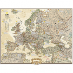
Germany Executive Wall Map
National Geographic’s antique-inspired Executive style political map of Germany is as attractive as it is functional, making it the perfect addition to any home or office decor.
The country, along with neighboring areas of Denmark, Poland, Czech Republic, Austria, Switzerland, France, Belgium and the Netherlands, as well Luxembourg in its entirety are shown with clearly defined international borders, shaded relief and thousands of place names, displayed in easy-to-read fonts.
Major infrastructure networks are noted, such as airports, highways and roads, canals, high-speed and passenger railroads, oil fields and pipelines, and ferry routes in the North and Baltic Seas.


