Description
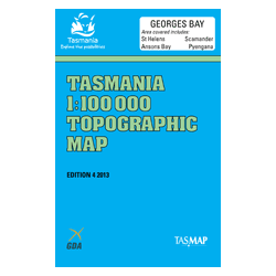
Georges Bay 1:100k Topo Map
The Georges Bay 1:100,000 Topographic Map covers the coastal area in the north east of Tasmania including Bay of Fires and St Helens.
Features include the Bay of Fires, St Helens, Binalong Bay, Scamander, Ansons Bay, Blue Tier and Mt William National Park to the north.
Adjacent maps in this series are Break O’Day (South), Forester (West) and Swan Island (North).


