Description
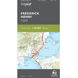
Frederick Henry 1:50,000 Topographic Map
The Frederick Henry 1:50,000 Topographic Map features waterways of Frederick Henry, Norfolk, Blackman and Marion bays and Pitt Water.
Towns and features on this map include Sorell, Primrose Sands, Dunalley, Copping, Dodges Ferry, Lauderdale, Seven Mile Beach, Cremorne, Clifton Beach, Roches Beach, Lime Bay State Reserve, The Forestier Peninsula, Murdunna, Marion Bay, Forcett, Midway Point, Orielton and Lewisham.
Adjoining Maps in this series are Tasman Peninsula (South) Prosser (North) and Wellington (West.)
For a map of this area in 1:100,000 scale, see Nugent
A current index of the Tasmanian 1:50,000 mapping series can be found HERE.

