Description
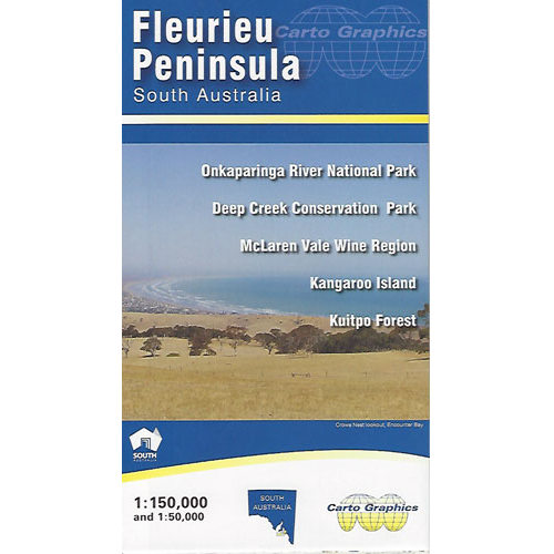
Fleurieu Peninsula Map
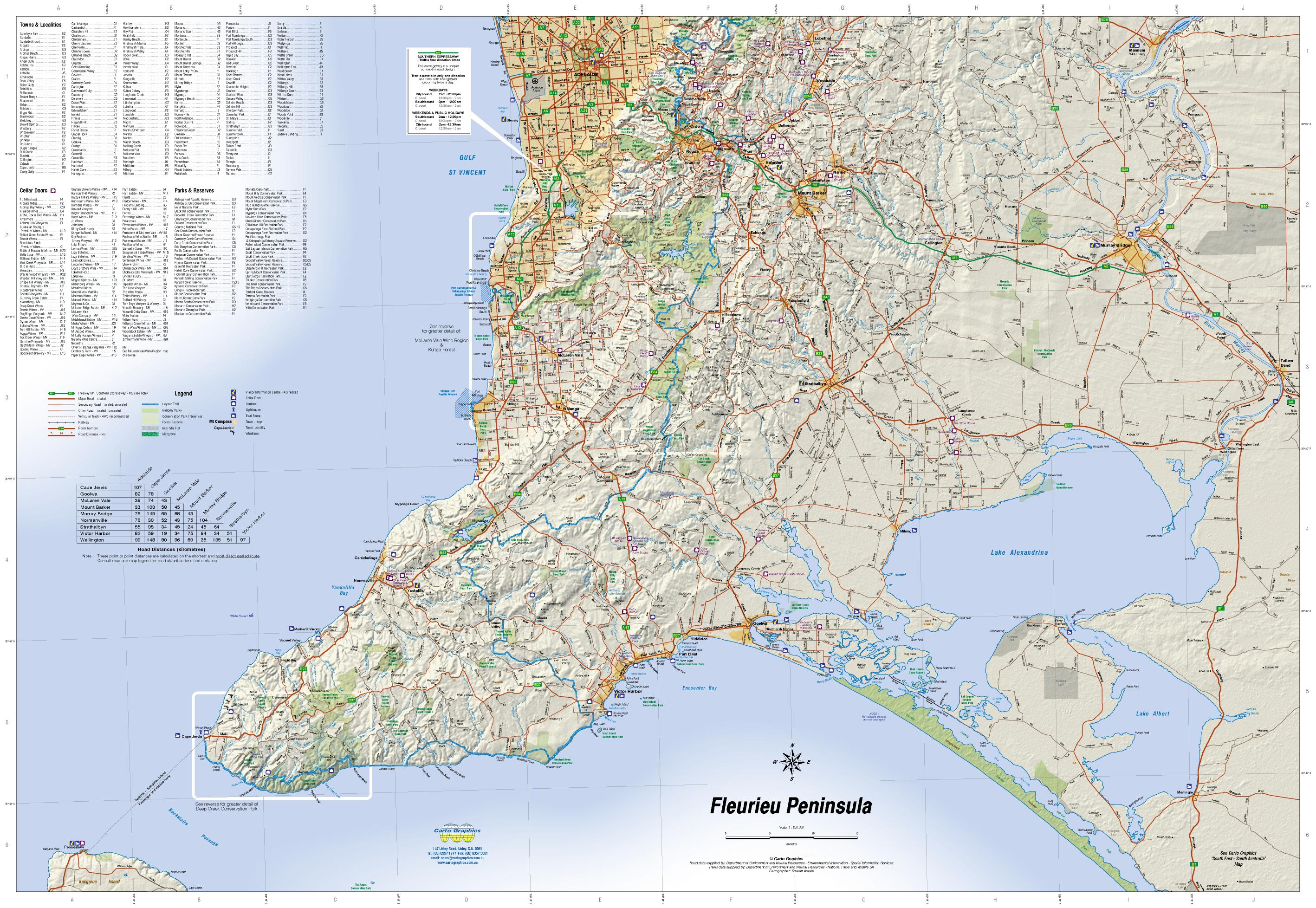
This Fleurieu Peninsula Map from Carto Graphics is a 1:150,000 scale map covering the Fleurieu Peninsula region to the south of Adelaide in South Australia.
It features Detailed roads and road names, parks, cellar doors, hill shading and more, and clearly displays the long-distance Heysen Trail where it crosses this map.
Includes Inset maps of:
- Deep Creek Conservation Park – 1:50,000
- McLaren Vale Wine Region including Onkaparinga River National Park – 1:50,000
- Kangaroo Island – 1:300,000 Scale
- Kuitpo Forest Reserve – 1:50,000
- Heysen Trail: Cape Jervis to Cherryville


Reviews
There are no reviews yet.