Description
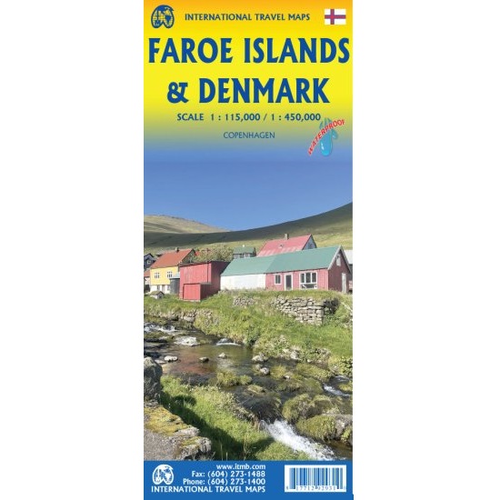
Faroe Islands & Denmark Travel Reference Map
The Faroe Islands & Denmark Travel Reference map is a double-sided map on durable waterproof paper, making it ideal for taking on your travels.
Denmark’s Faroe Islands are one of Europe’s hidden treasures. This small archipelago is situated in the far north of the Atlantic, between Iceland and the European mainland.
The islands are normally reached by air or ferry from Denmark or Iceland, and by the occasional cruise ship that makes the effort to stop by. The islands have an amazing road network that includes the longest undersea road tunnel in Europe; in fact, they have several long undersea roadway tunnels joining together most of the islands. They also have an excellent bus system joining Torshavn (the capital) to all parts of the country, with a helicopter network providing service to outlying islands, as well as a ferry service to the southernmost island of Suduroy.
The reverse side of the sheet is a detailed map of Denmark, simply because the Faroes are Danish and the easiest jump-off point to reach the Faroes is from Denmark. Ferries to the Faroes leave from the northern port city of Hanstholm. An inset map of central Copenhagen is included.

Reviews
There are no reviews yet.