Description
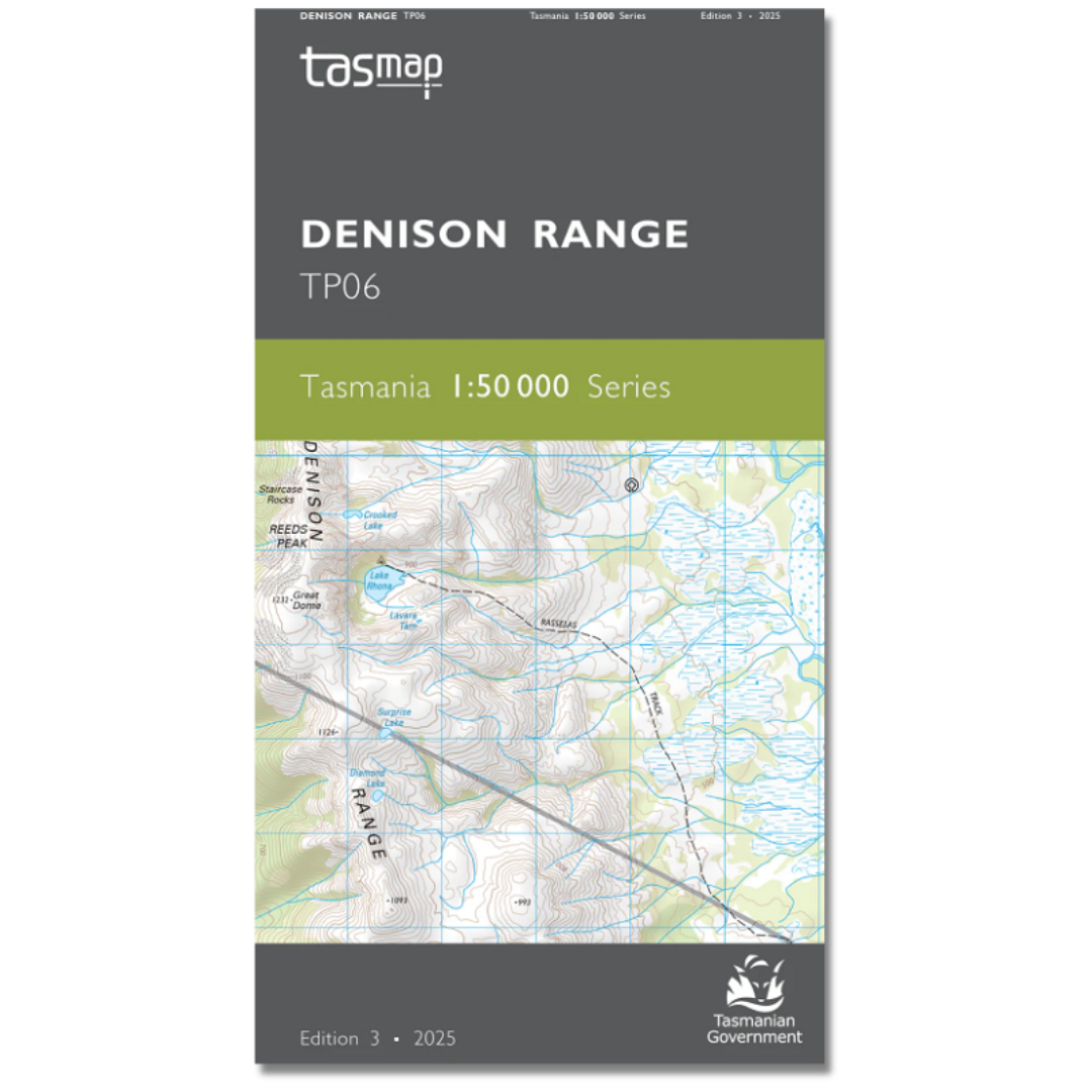
Denison Range 1:50,000 Topo Map
The Denison Range 1:50,000 Topographic Map covers the remote, uninhabited area west of the Florentine Valley and the northern half of Lake Gordon. Most of the map area is Tasmanian Wilderness World Heritage Area where there are very few tracks. The Florentine Valley however is a labyrinth of production forest roads and for these reasons the map is an essential navigation aid.
This is the map required for the popular Lake Rhona walk.
See this map for: The Spires, Prince of Wales Range, Lake Gordon, Pokana Peak (1127m), Adamsfield Conservation Area, Gordon Plains, Rasselas Track, Richea Creek Track, Gordon Range, Tiger Range, Wylds Crag (1339m), Great Dome (1232m), Reeds Peak, Mount Wright (1112m)


