
Description
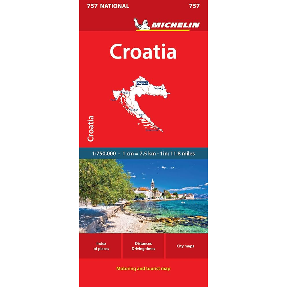
Croatia Road Map 757
The Croatia Road Map 757 from Michelin Maps is a single-sided touring road and reference map at a 1:750,000 scale, providing invaluable planning and perspective.
Renowned for over 100 years for their clear, accurate and easy-to-read mapping, Michelin country maps give travelers an overall picture of their route, with practical road and travel information; and city maps containing extensive street indexes orient them quickly so they can find their way to their destination.
Key Features
- Comprehensive Croatian Road Network: Complete coverage of motorways (including toll routes), coastal highways (like the Adriatic Highway), scenic scenic drives, and rural bypasses, marked with accurate kilometer distances.
- Islands & Ferry Connections: Clearly charts key ferry lines and routes connecting the mainland to major islands like Hvar, Brač, Korčula, and Krk for seamless multi-island travel.
- Capital & Coastal Insets: Includes detailed city inset maps of Zagreb, Dubrovnik, and Split to simplify urban navigation and arrival planning.
- Tourist & Cultural Highlights: Features pinpointed locations for Croatia’s national parks (including Plitvice Lakes), ancient ruins, castles, and Michelin Green Guide-rated points of interest.
- Bilingual Local Index: Exhaustive place-name index matching local Croatian signage (diacritics included) to make location lookup quick and accurate on the road.
- High-Detail Scale: Precise 1:750,000 scale (1 cm = 7.5 km) offering the ideal balance between a full-country route overview and regional detail.
Available in store and online at Geographica.
Reviews
There are no reviews yet.