Description
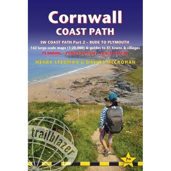
Cornwall Coast Path Guide
The Cornwall Coast Path Guide is a practical, complete hiking route guide, with maps and accommodation, for the 288-mile footpath that runs around the entire coastline of Cornwall, from Bude to Plymouth. This path represents Part 2 of the South-West-Coast Path, a 630-mile National Trail from Minehead to Poole.
The guide includes:
- 142 large-scale walking maps (3 1/8 inches to 1 mile), 15 town plans, guides to 81 towns and villages, 24 stage maps and an overview map.
- Itineraries for all walkers – whether walking the route in its entirety over a week to 10 days or sampling the highlights on day walks and short breaks
- GPS waypoints
- Practical information for all budgets – camping, bunkhouses, hostels, B&Bs, pubs and hotels; where to stay, where to eat, what to see.
- Comprehensive public transport information – for all access points on the coast path
- Flora and fauna – 6 page full colour, flower, butterfly, bird guide
- Green hiking – understanding the local environment and minimizing our impact on it
- Extra colour sections: 16pp colour introduction and 21pp of colour mapping for stage sections (one stage per page) with trail profiles, and colour overview map.
The guide also includes the route across the North Devon border, Hartland Quay to Bude.



Reviews
There are no reviews yet.