Description
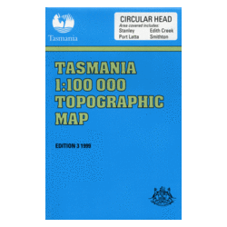
Circular Head 1:100k Topo Map
The Circular Head 1:100,000 Topographic Map shows the coastal area surrounding Stanley in Tasmania’s North-East.
Features include Smithton, Perkins Bay, Sawyer Bay, Rocky Cape National Park and the eastern side of Robbins Island.
Adjoining maps in the series are Hunter (West), Arthur River (South), and Inglis (East).


