Description
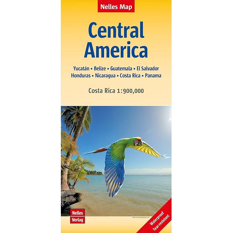
Central America Nelles Map
The Central America Nelles map features shaded relief, roads and highways, railways, airports, and airfields.
The front side of the map covers southern Honduras and El Salvador, down to the Panama/Colombia border. It also includes a more detailed inset map of Costa Rica and a street map of central San José, its capital.
The other side focuses on the Yucatan Peninsula, Guatemala and northern Honduras, with smaller inset maps of Palenque, Tikal, Ciudad de Guatemala, Lago de Atitlán, Antigua Guatemala, Mérida, Campeche, Chichén Itzá, Uxmal, Riviera Maya, Isla Mujeres, Cancún, Isla Cozumel, Tulum and Copán.
The map is printed on waterproof paper, making it durable and practical to take on your journey.


Reviews
There are no reviews yet.