Description
Cape Town City Map
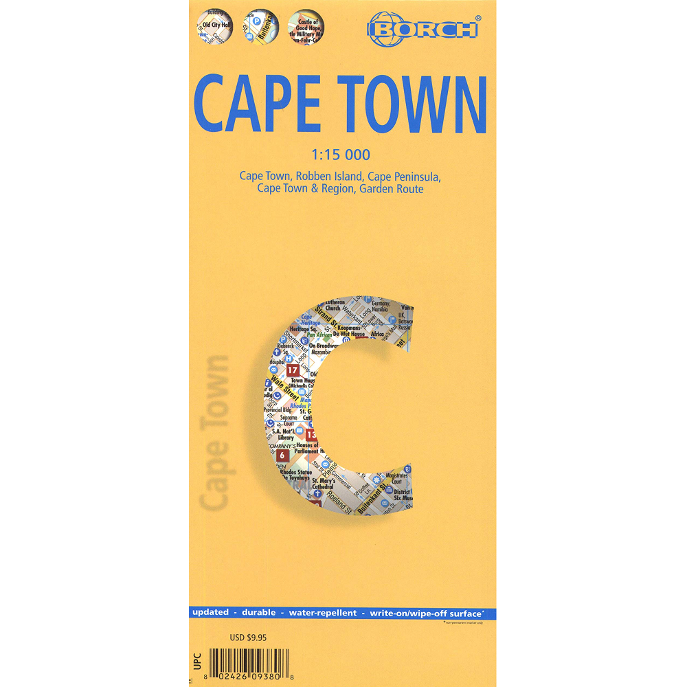
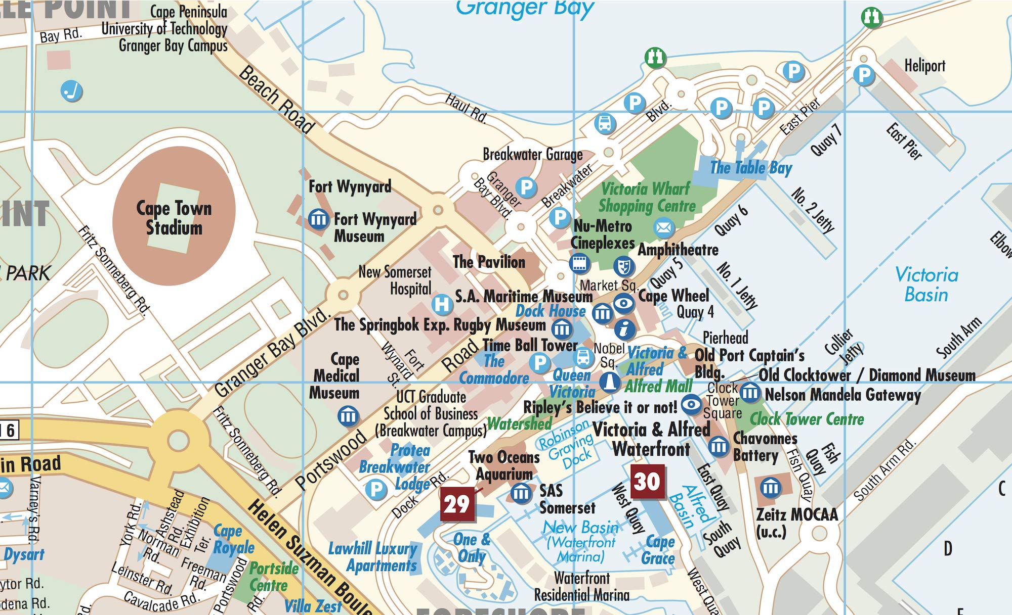
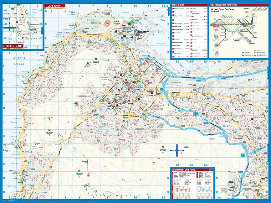
This Cape Town City Map from Borch Mapping is a laminated, double-sided fold-out map at 1:15,000 scale. This map also features Robben Island, Cape Peninsula, Cape Town and Region, and Garden Route.
The Legend includes sights, museums, monuments, churches, synagogues, mosques, shipwrecks, windmills, cable railway, beaches, caves, windsurfing sites, scuba diving, police stations, hospitals, golf courses, bus stations, parking, airports, airfields, commuter train, waterfalls, camping sites, viewpoints, national parks, nature reserves, hotels, shopping centres, and markets.
Climate charts show the average daily temperatures, humidity, hours of sunshine and precipitation for each month.


Reviews
There are no reviews yet.