Description
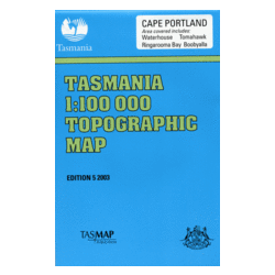
Cape Portland 1:100,000 Topographic Map
The Cape Portland 1:100,000 Topographic Map covers a coastal area on the north east of Tasmania, featuring Ringarooma Bay and Waterhouse Point.
Adjoining 1:100,000 Maps: Swan Island (East), Forester (South), Pipers (West) and Flinders Island to the north.


