
Description
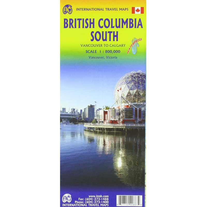
British Columbia South Map
Vancouver to Calgary
The British Columbia South Map from ITMB is a double-sided, waterproof map of the region in 1:800,000 scale.
Touring Southern British Columbia offers a stunning blend of dramatic coastlines, vibrant cities, and sun-drenched valleys.
Your journey begins in the coastal metropolis of Vancouver, where urban sophistication meets pristine rainforest wilderness. Heading north along the Sea-to-Sky Highway rewards you with cascading waterfalls and towering peaks on the way to Whistler.
Alternatively, a ferry ride west brings you to Vancouver Island. Here, you can wander through the historic, flower-filled streets of Victoria or brave the rugged Pacific Rim, where old-growth forests crash directly into wild, mist-laden beaches.
East of the coast, the landscape shifts dramatically. Crossing the mountain passes reveals the arid, desert-like climate of the Okanagan Valley. Known as Canada’s premier wine region, this sun-soaked basin is filled with sprawling vineyards, orchards, and warm, inviting lakes perfect for a relaxed summer getaway. Further east, the Kootenays offer deep valleys, mineral-rich hot springs, and laid-back alpine towns.
Whether you are tasting award-winning Pinot Noirs, hiking alpine ridges, or spotting marine wildlife, Southern BC packages Canada’s absolute best scenery into one unforgettable, highly accessible road trip.
This map features:
- Index
- Campsites
- National Parks
- Snowfields
- Glaciers
- Ferry Routes
- Hiking trails
- Inset city maps of
- Downtown Victoria
- Downtown Vancouver
Available in our Hobart store and online at Geographica.

Reviews
There are no reviews yet.