Description
Britain & Ireland Road Atlas
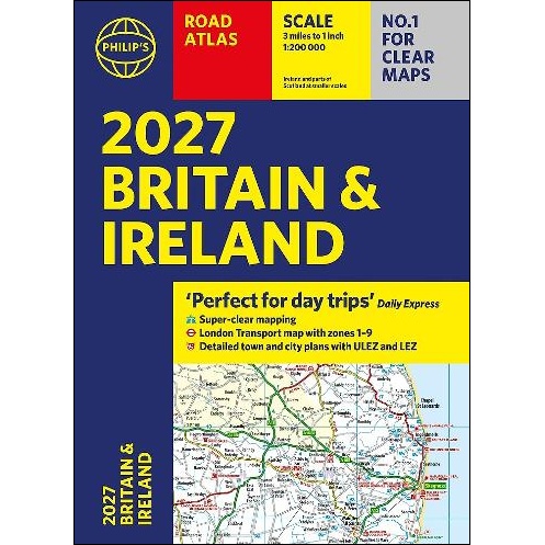
2027 Philip’s Road Atlas of Britain and Ireland is a top-of-the-range, A4-sized, paperback atlas featuring fully updated maps from the Philip’s digital database. Voted Britain’s clearest and most detailed in an independent consumer survey, the mapping is super-clear.
- 88 fully indexed and detailed town-centre maps with Low Emission Zones and Ultra Low Emission Zones
- Top tips for better and safer driving including how to parallel park
- 160 pages of fully updated super-clear road maps
- 10 pages of detailed route-planning maps, to help plan your route in advance
- Mapping at a scale of 3 miles to 1 inch = 1:200,000 for clarity and ease of use
- Major city approach maps with named arterial roads
- Clear road mapping showing all of Ireland
- Includes London Transport map zones 1-9
The maps clearly mark service areas, roundabouts and multi-level junctions, and in rural areas distinguish between roads over and under 4 metres wide. It also includes a 2-page road map of Ireland, 10 pages of route-planning maps, a distance table, London Transport map, 10 large-scale city approach maps with named arterial roads, the latest ULEZ details, and 88 extra-detailed and fully indexed town and city plans.
Wherever you are driving in Britain and Ireland, this is the ultimate road trip companion.


Reviews
There are no reviews yet.