Description
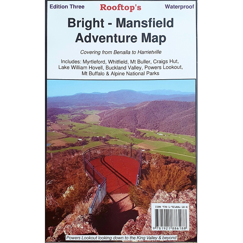
Bright – Mansfield Adventure Map
The Bright – Mansfield Adventure Map is a double-sided, waterproof map covering from Benalla to Harrietville.
It includes: Myrtleford, Whitfield, Mt Buller, Craigs Hut, Lake William Hovell, Buckland Valley, Powers Lookout, Mt Buffalo & Alpine National Parks.


