Description
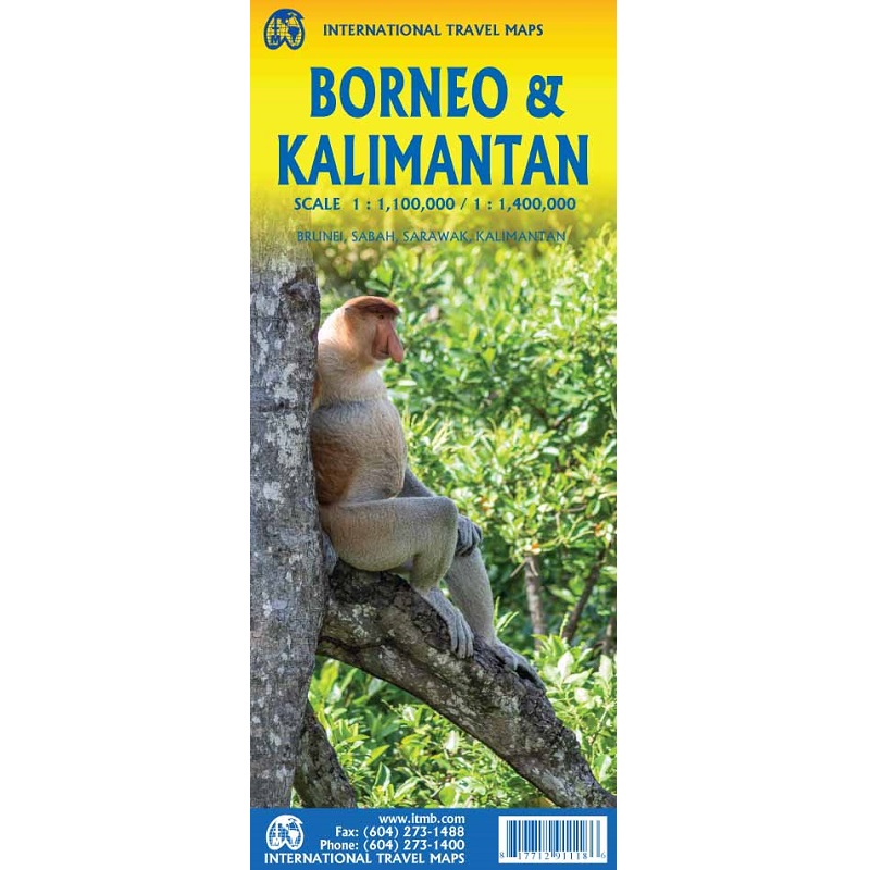
Borneo & Kalimantan Travel Map
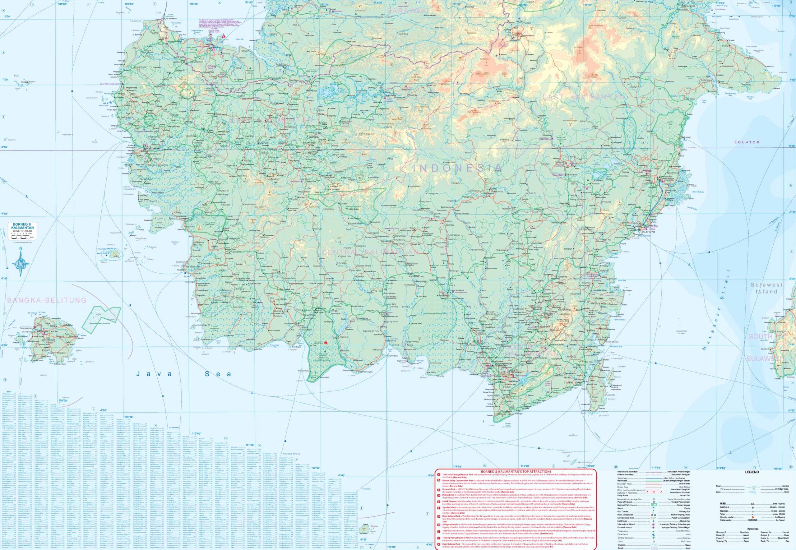
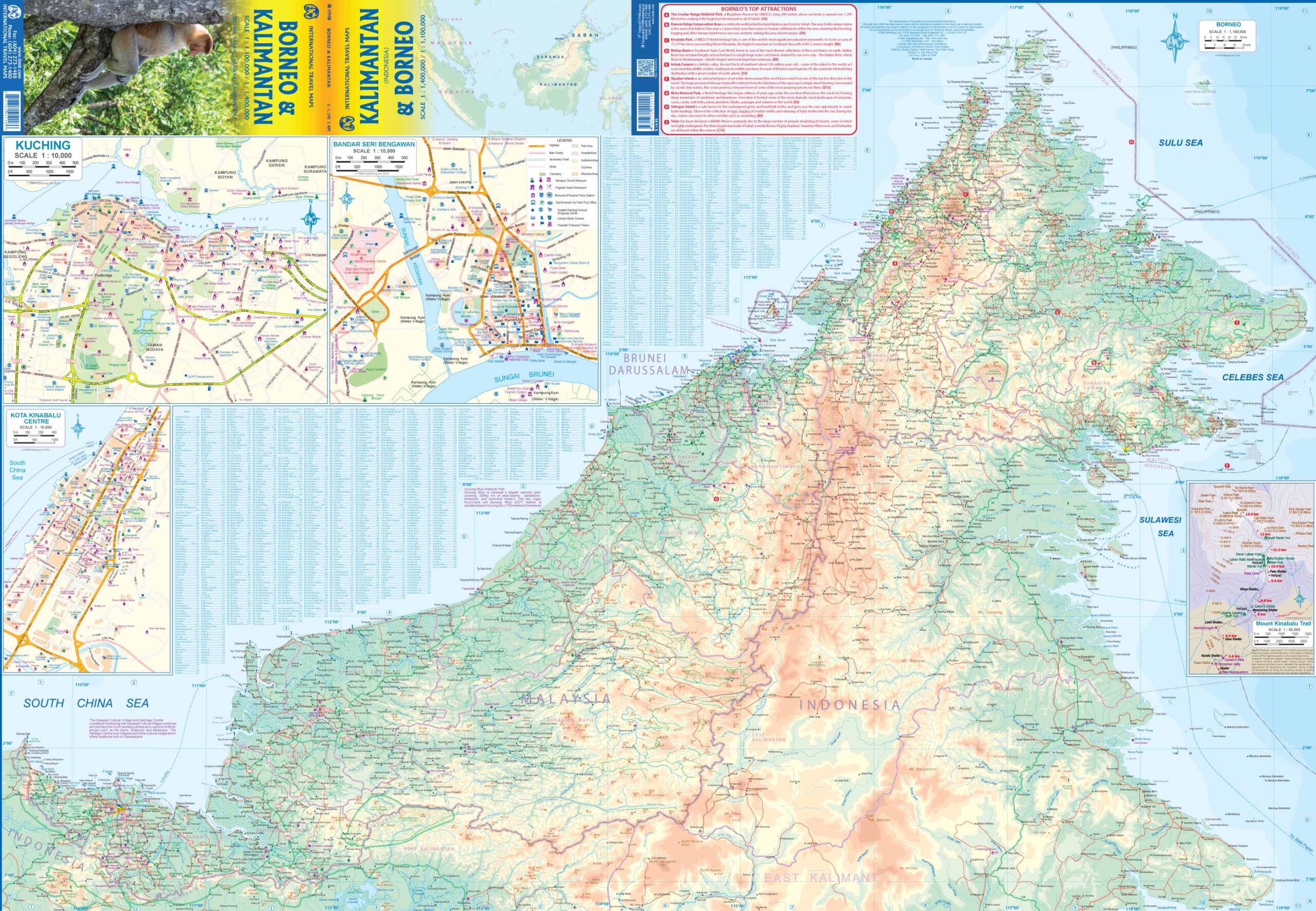
This Borneo & Kalimantan Travel Map from ITMB is a folded, double sided and indexed road and travel map, distinguishing roads ranging from main roads to other roads.
The legend includes ferry routes, places of interest, national parks/reserves, beaches, golf courses, hotels, longhouses, international/dpmestic airports, museums, cathedrals, hospitals, markets.
This map includes inset maps of Kuching, Kota Kinabalu Centre, the Mount Kinabalu Trail and Bandar Seri Bengawan.
Borneo is a giant, rugged island in Southeast Asia’s Malay Archipelago, shared by the Malaysian states of Sabah and Sarawak, Indonesian Kalimantan and the tiny nation of Brunei.
It’s known for its beaches and ancient, biodiverse rainforest, home to wildlife including orangutans and clouded leopards.
In Sabah is 4,095m-tall Mount Kinabalu, the island’s highest peak, and, offshore, the famed dive site Sipadan Island.


Reviews
There are no reviews yet.