Description
Bermuda Travel Reference Map
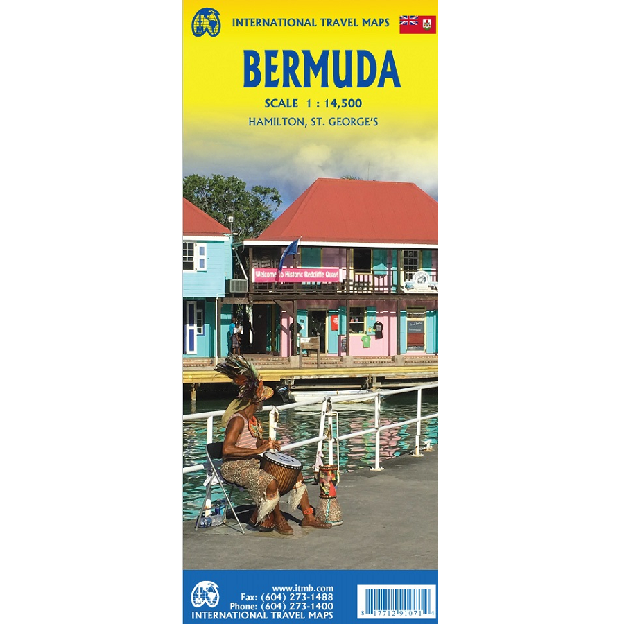
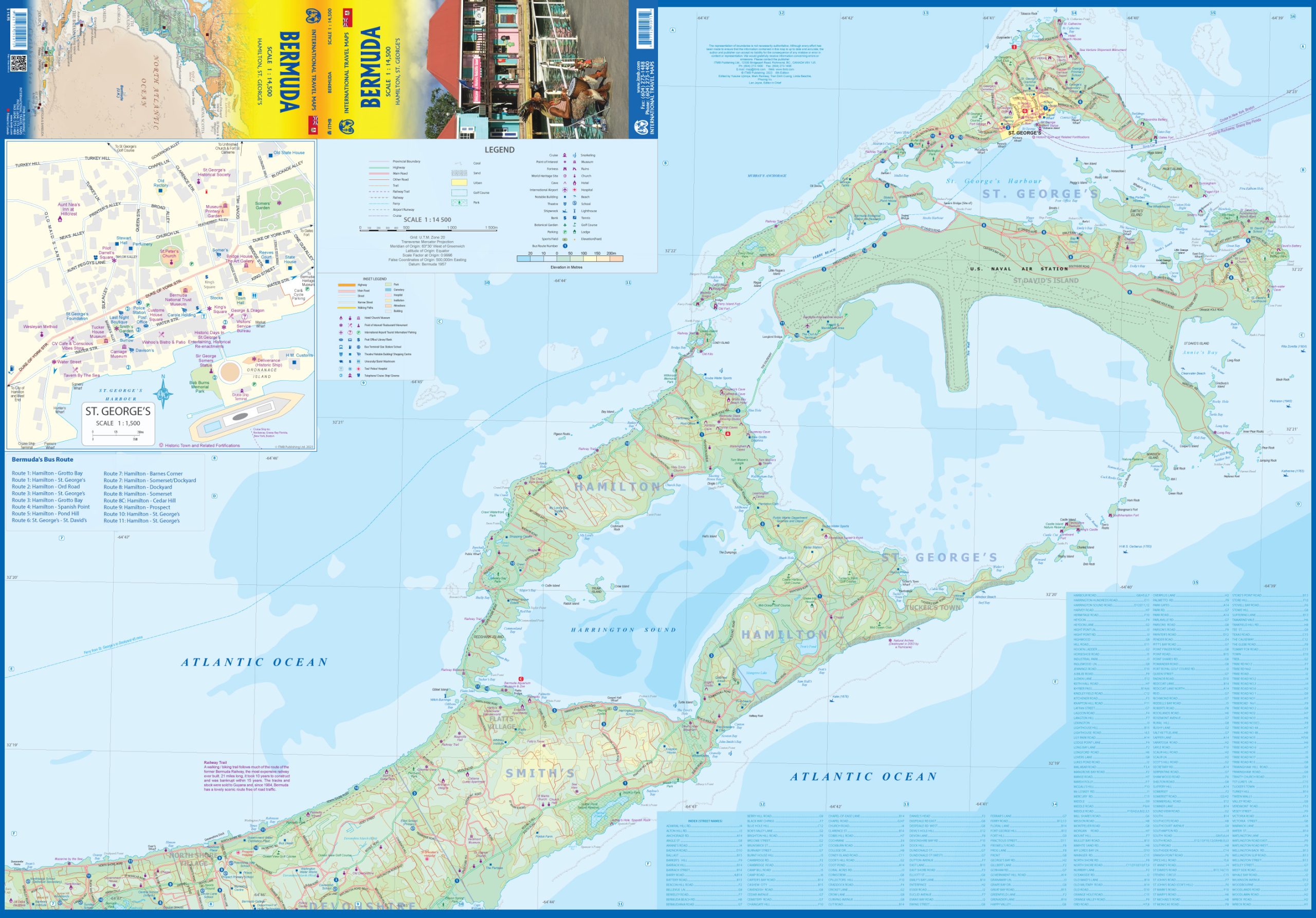
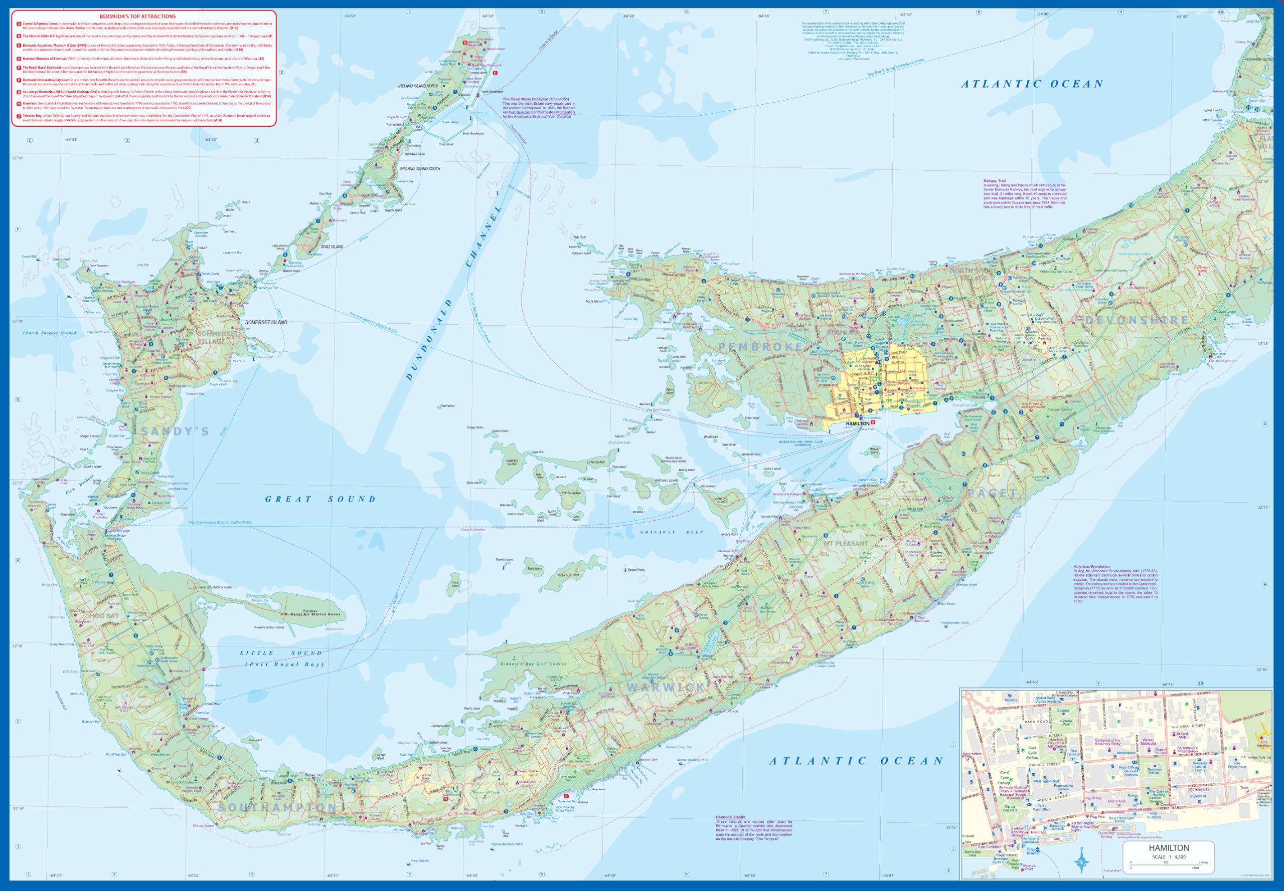
The Bermuda Travel Reference Map from ITMB is a double-sided map detailing the lovely mid-Atlantic island far off the coast of South Carolina.
Bermuda is full of colonial architecture and an ‘island’ way of life. Tourism is a key ingredient of the colony’s lifeblood and the island is very popular with cruise ships. There is ample accommodation for longer-term visitors, good roads, and much history.
The airport was built by the US Navy during WW2 and is still a US Naval Air Station, but shares the runway with civil aviation. The map includes an excellent inset of St. George’s, which still has its stocks close to the town hall, and another of Hamilton, the capital. This is where most cruise ships dock.
Bermuda is a self-governing British Overseas Territory in the Region of the Americas. It consists of seven main islands connected by bridges and more than 100 smaller islands. The territory is divided into nine parishes and has an estimated population of 63,000 people.
For those with the time, the map shows the Railway Trail along the former route of the island’s now-defunct rail line. Lots to see; lots to do!


Reviews
There are no reviews yet.