Description
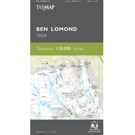
Ben Lomond 1:50k Topo Map
The Ben Lomond 1:50k Topographic Map map covers the area dominated by the elevated mountain plateau and Ben Lomond National Park.
Tasmania’s second highest peak occurs on Ben Lomond, making the area exposed to wind and cold conditions with snow falls likely to occur at any time of the year.
Whilst the plateau has winter ski slopes, the areas at lower elevations are dominated by production forest crisscrossed by a myriad of roads. This map is therefore an essential navigation aid.


