Description
Bathurst 1:50,000 Topo Map
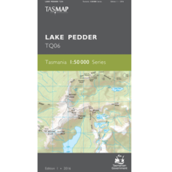
The Bathurst 1:50,000 Topographic Map covers the wilderness areas stretching from Federation Peak, Bathurst Harbour and Cox Bight to the Ironbound Range in Tasmania’s South-West.
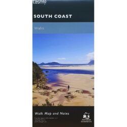
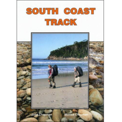
A great map for walkers using the South Coast Track and Port Davey Track to or from Melaleuca.


