Description
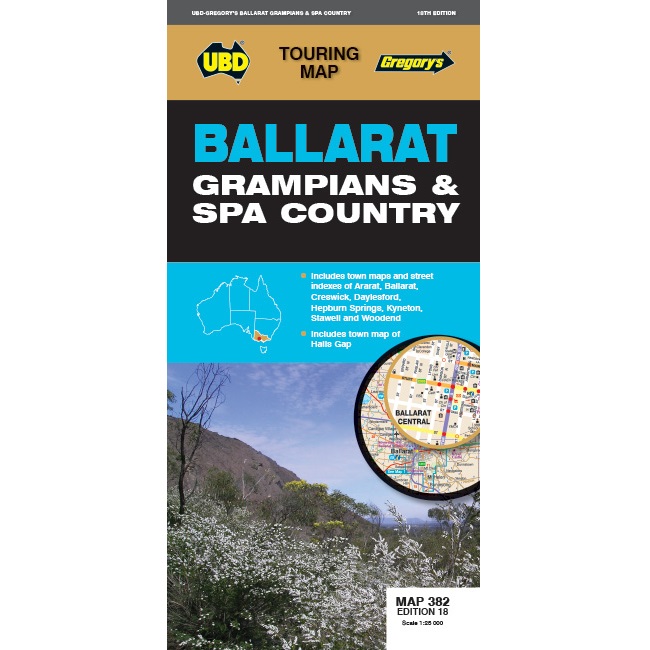
Ballarat, Grampians & Spa Country Map 382
The Ballarat, Grampians & Spa Country Map 382 contains:
- Regional touring map covering Harcourt & Campbells Bridge in the north, Cressy in the south, Romsey in the east & Wartook & Dunkeld in the west.
- Map & street index of Ballarat and town maps of Ararat, Creswick, Daylesford, Hepburn Springs, Kyneton, Stawell and Woodend and a map of Halls Gap.
- Regional touring attractions & advertisers index


