
Description
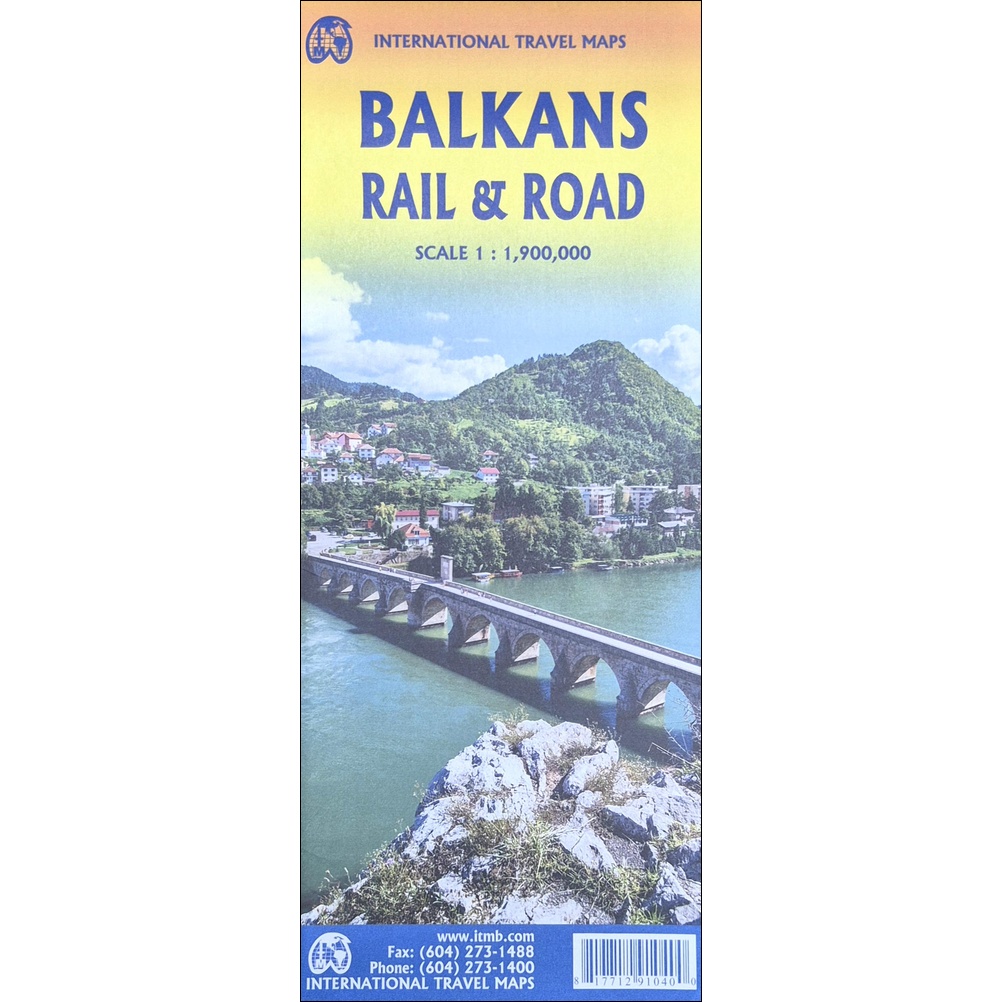
Balkans Rail and Road Travel Reference Map
This Balkans Rail and Road Travel Reference Map from ITMB covers this area of the continent in detailed 1:1,900,000 scale.
Explore one of Europe’s most dynamic, historic, and captivating regions with this expanded-format reference map. While the Balkans are often defined solely by the nations of former Yugoslavia, this map takes a broader geographical view to capture the true interconnectivity of Southeastern Europe—stretching to include Hungary, Romania, Moldova, Greece, and European Turkey.
Whether tracking current geopolitical shifts or planning an off-the-beaten-path European adventure, this large-format map delivers exceptional clarity across a complex landscape.
Key Features
-
Expanded Geographic Coverage: Includes former Yugoslav states (Croatia, Serbia, Bosnia & Herzegovina, Montenegro, Kosovo, North Macedonia, Slovenia) alongside Hungary, Romania, Moldova, Greece, Albania, and the European portion of Turkey.
-
Geopolitical & Historical Context: Highlights critical strategic corridors, international borders, capital cities, and regional hubs like Zagreb, Brașov, Sofia, Tirana, and Skopje.
-
Dual-Purpose Utility: Ideal for geopolitics enthusiasts, history buffs, policy researchers, and travelers looking to explore Europe’s less-crowded destinations.
Product Specifications
| Feature | Details |
| Dimensions | 27″ × 39″ (68.6 cm × 99.1 cm) |
| Format | Two-sided regional reference map |
| Coverage Area | Southeastern Europe / Greater Balkan Peninsula |

Reviews
There are no reviews yet.