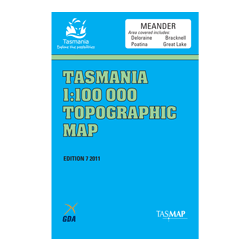
Description
Arthur’s Lake Fishing Map 26
Arthur’s Lake Fishing Map 26 is published by the fishing experts at Australian Fishing Network and is produced by anglers for anglers. All relevant information has been included such as likely fish locations, depths for
boating, access points, boat ramps, buoys etc.
This map and others in the series are printed on waterproof and tear resistant paper.
Includes: Arthurs Lake, Brumbys Creek, Penstock Lagoon, Tooms Lake, Lagoon of Islands, Woods Lake – Tasmania.


