Description
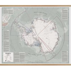
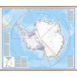
Antarctica Satellite Wall Map
The Antarctica Satellite Wall Map provides a striking view of Antarctica’s terrain, compiled from 4,500 satellite scans.
Additional inset maps show surface elevation, ice sheet thickness, velocity of ice flow, and sea ice movement and windflow.


