Description
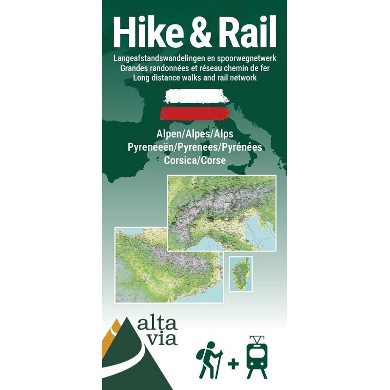
Alps Pyrenees and Corsica Hike & Rail Map
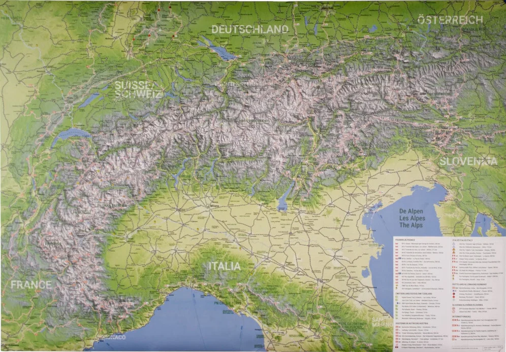
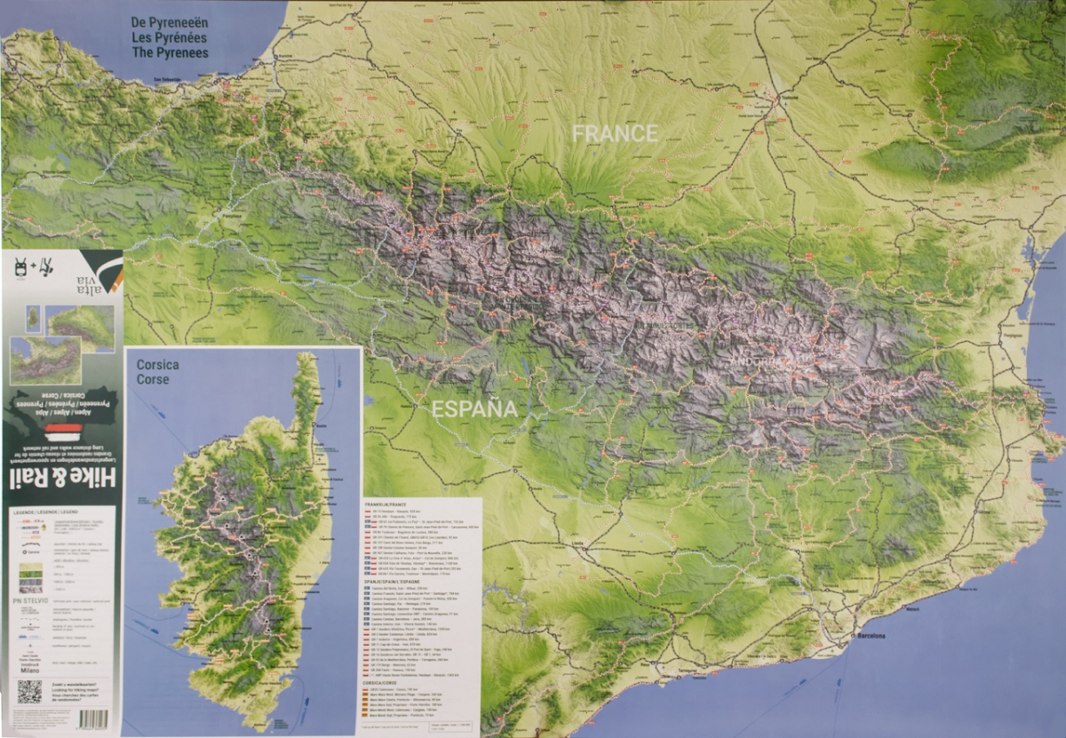
The Alps Pyrenees and Corsica Hike & Rail Map is a hiking & train planning map which indicates long-distance hiking trails and rail connections.
This beautifully illustrated map is shown in a physical style, with relief-shading as well as height tinting. This map is a perfect overview for the numerous long-distance walking trails throughout the mountain ranges, and includes the walks in the Pyrenees (France & Spain) Italy, Germany, Slovenia, and Corsica.
Also covered are some of the Camino pilgrimmage routes.
Just some of the highlighted routes include:
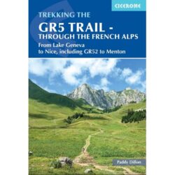
- GR1, GR3, GR4, GR5, GR7, GR10, GR11, GR15, GR16, GR52, GR54, GR69, GR85, GR91, GR92, GR96, GR738, GR965





Reviews
There are no reviews yet.