Description
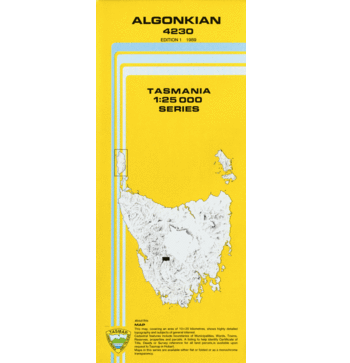
Algonkian 1:25,000 Topographic Map
The Algonkian 1:25,000 Topographic Map covers areas in the Southwest Conservation area in Tasmania’s South West.
Features in this map include: Mount King William III (One of the Abels), Algonkian Mountain, Observation Peak, the Denison River and the Gordon River to the East.


