Description
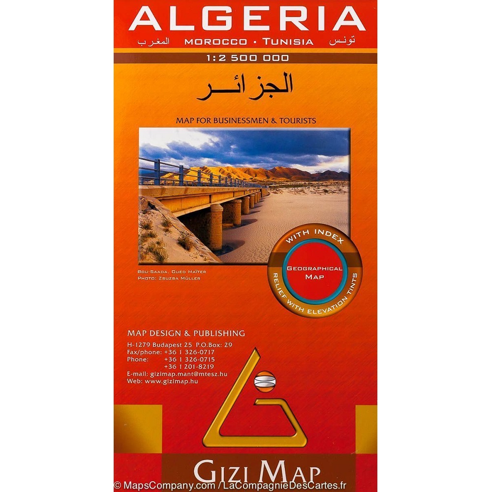
Algeria Map
This Algeria Map from Gizi Maps is a folded tourist and road map of Algeria, featuring shaded-relief and elevation tinting.
Algeria, officially the People’s Democratic Republic of Algeria, is a country in North Africa. Algeria is bordered to the northeast by Tunisia; to the east by Libya; to the southeast by Niger; to the southwest by Mali, Mauritania, and Western Sahara; to the west by Morocco; and to the north by the Mediterranean Sea.
It is considered to be a part of the Maghreb region of North Africa. It has a semi-arid geography, with most of the population living in the fertile north and the Sahara dominating the geography of the south. Algeria covers an area of 2,381,741 square kilometres, making it the world’s tenth largest nation by area, and the largest nation in Africa.
The capital and largest city is Algiers, located in the far north on the Mediterranean coast.
Major and minor roads are depicted along with railways, distance in kilometers, oil pipelines, gas production, state boundaries, airports, historical sites, and natural features.
6 language index of placenames included: Arabic, French, English, German, Italian and Spanish. Scale is 1:2.5 million.


Reviews
There are no reviews yet.