Maps
Showing 625–672 of 1783 resultsSorted by popularity
-

Canada Classic Wall Map
$40.00Publisher: National Geographic Size: 97cm x 81cm -
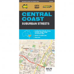
Central Coast Road Map 289
$11.99Publisher: UBD Gregory’s Edition: 15th Edition 2019 Scale: 1:25,000 -

Port of Hobart – Deep Water Port Australasia Print
$40.00Year: 1912 Size: A1 (Approx) -

Nullarbor Plain Map: Western Sheet
$16.00Publisher: Hema Published: 2021 Size: 700mm x 1000mm -

Queensland Super Wall Map
$160.00Finish: Matte laminated with hangers Publisher: Hema Size: 100cm x 143cm -

Australia ‘Down Under’ Illustrated Poster
$20.00Illustrator: Brett Curzon Size: A1 -

Eyre Peninsula South Australia Map
$12.95Publisher: CartoGraphics Published: 2021 Scale: 1:600,000 -
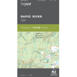
Rapid River 1:50,000 Topo Map
$13.95Scale: 1:50,000 Edition: 1st Edition 2021 Datum: GDA2020 Sheet: TJ04 -
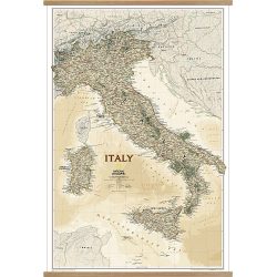
Italy Executive Wall Map
$30.00Publisher: National Geographic Scale: 1:1,765,000 Size: 60cm x 86cm -
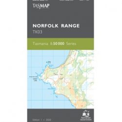
Norfolk Range 1:50k Topo Map
$13.95Edition: 1 Published: 2020 Scale: 1:50,000 Number: TK03 -

World Wall Map – Political, 197 x 117cm
$90.00Publisher: Maps International Size: 197cm x 117cm Finish: Gloss Laminated -
World Wall Map – Political, 136 x 84cm
$60.00Publisher: Maps International Size: 136cm x 84cm Pinboard (Pickup Only) $300 -

Nova Totius Terrarum Orbis Geographica
$40.00 – $60.00Sizes: A1, A2 Sizes are approximate. -

Lake District and Cumbria Tour Map
$20.00Publisher: Ordnance Survey Published: 2016 Scale: 1:110,000 -

New South Wales State Wall Map
$80.00Publisher: Hema Scale: 1:1,500,000 Size: 100cm x 70cm -

Antarctica 1939 Wall Map
$20.00 – $60.00Sizes are approximate.
-
South West Tasmania Map – Flat
$20.00Edition: 6 Production Year: 2020 Sheet: K5522 Size: 96cm x 70cm Scale: 1:250,000 -

Freycinet Peninsula Wall Map
$60.00Publisher: Tasmap Scale: 1:50,000 Size: 115cm x 27cm -

Loyetea 1:25k Topo Map
$9.95Edition: 1 Production Year: 1986 Datum: AGD66 Scale: 1:25,000 -
Asia Classic Wall Map
$40.00Publisher: National Geographic Size: 84cm x 98cm Scale: 1:13,812,000 -

Top End & Gulf Map
$16.00Waterproof Publisher: Hema Published: 7th Edition 2019 Size: 70cm x 100cm -

Northeastern USA | Eastern Canada Road Map 583
$20.00Publisher: Michelin Sheet No: 583 Scale: 1:2,400,000 Format: Single-sided Size Folded: 11.5cm x 25cm Size Unfolded: 130cm x 100cm -

Antarctica & Tierra Del Fuego ITMB Map
$22.00Publisher: ITMB Published: 2024 Scale: 1:7,000,000 & 1:750,000 -
British Isles Routeplanning Wall Map
$80.00Finish: Matt Laminated Publisher: Maps International Size: 84cm x 119cm Scale: 1:850,000 -

12. South Westland Rural Road Map NZ
$12.00Publisher: Kiwimaps Scale: 1:250,000 – Map 12 of 18 -
17. Otago-Southland Rural Road Map NZ
$12.00Publisher: Kiwimaps Scale: 1:250,000 – Map 17 of 18 -
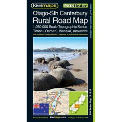
15. Otago-Sth Canterbury Rural Road Map NZ
$12.00Publisher: Kiwimaps Scale: 1:250,000 – Map 15 of 18 -
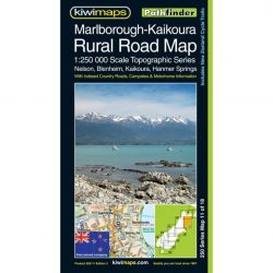
11. Marlborough-Kaikoura Rural Road Map NZ
$12.00Publisher: Kiwimaps Scale: 1:250,000 – Map 11 of 18 -
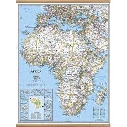
Africa Classic Wall Map
$30.00Publisher: National Geographic Published: Revised 2015 Size: 61cm x 78cm -

Middle East Classic Wall Map
$30.00Publisher: National Geographic Published: 2018 Size: 77cm x 60cm -

Kimberley Atlas & Guide
$50.00Publisher: Hema Published: 2018 Size: 300mm x 450mm Pages: 208, Spiral Bound -
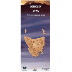
Longley 1:25k Topo Map
$9.95Edition: 3, 2006 Datum: GDA94 Scale: 1:25,000 -
East Midlands and East Anglia – OS Road Map 5
$22.00Publisher: Ordnance Survey Published: 2020 Scale: 1:250,000 -
Queensland Handy Map 15th Ed
$12.00Publisher: Hema Published: September 2014 Size Folded: 127mm x 250mm Size Unfolded: 750mm x 500mm -

North Coast Tasmania Boating Guide
$12.00Publisher: MAST Edition: Edition 1, 2006 Finish: Laminated -
Crossing 1:25k Topo Map
$9.95No longer available. Edition: 2, 2012 Datum: GDA94 Scale: 1:25,000 -
Storm Bay 1:100k Topo Map
$9.95Edition: 5th Edition 2008 Sheet No: 8411 Datum: GDA94 Scale: 1:100000 -

Flinders Island 1:100k Topo Map
$9.95This map is permanently out of print, but bring us your digital copy and we can print it out for you.
Edition: 3rd Edition 2012 Sheet No: 8517 Datum: GDA94 Scale: 1:100,000 -

Cape Sorell 1:100,000 Topographic Map
$9.95Edition: 3rd Edition 1995 Sheet No: 7913 Datum: AGD66 Scale: 1:100,000 -
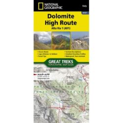
Dolomite High Route Alta Via 1 Map and Guide
$22.00Publisher: National Geographic Scale: 1:25,000 Published: 2025 UPC: 749717055599 -

Danube Bike Trail 1: Donaueschingen to Passau
$39.99Publisher: Bikeline Pages: 160, Spiral Bound Scale: 1:50,000 Published: 2019 -
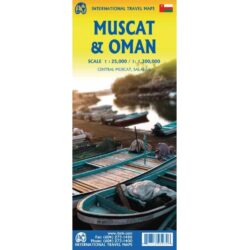
Muscat & Oman Travel Reference Map
$22.00Publisher: ITMB Scale: 1:25,000 / 1:1,300,000 Published: 2024 -

United States Reference Map
$20.00Publisher: National Geographic Published: 2024 UPC: 749717054004 -

Hadrian’s Wall Path Map and Guide
$22.00Publisher: National Geographic Published: 2024 Scale: 1:25,000 -
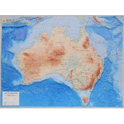
Australia 3D Raised-Relief Map
$180.00Size: 89cm x 69cm Published: 2024 -
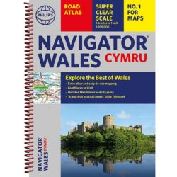
Navigator Wales Road Atlas
$29.99Publisher: Philip’s Scale: 1:100,000 Published: 2024 -

Antarctica Classic Wall Map
$40.00Publisher: National Geographic Edition: 11th Edition 2019 Size: 798mm x 610mm -

Asia Reference Map
$20.00Publisher: National Geographic Edition: 2023