Description
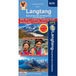
Langtang & Helambu Trekking Map
The Langtang & Helambu Trekking Map is a 1:100,000 scale, waterproof and tear-resistant map from Himalayan Maphouse.
The map highlights main trekking routes north of Kathmandu, including Gosainkund Trek, Kangja la – Naya Kanga trek, Paldor Trek, Tamang Heritage Trek, Bhairav Kund Trek, and the relevant sections of the GHT Cultural Trail and the GHT High Route. Contours are at 80m intervals. Route profile shows the Langtang section of the GHT High Route between Syno Jyandan and Tipling.


