Description
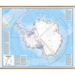
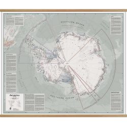
Antarctica 1939 Wall Map
This map of Antarctica was originally produced in 1939 by the Property and Survey Branch.
Source:
Property and Survey Branch & Bayliss, E. P & Cumpston, J. S. (1939). Antarctica from http://nla.gov.au/nla.obj-236895938


