
Description
National Trails of the United States Map
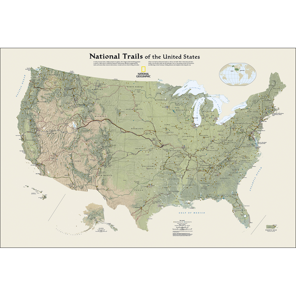
Discover America’s Great Outdoors with the National Trails of the United States Map – Enacted in 1968, the National Trails System Act was created to give people of all abilities and interests access to the country’s most spectacular landscapes. This beautifully detailed map showcases that vision, featuring National Scenic, Historic, and Recreation Trails—plus the nation’s sole National Geologic Trail—spanning all 50 states, D.C., and Puerto Rico. From rugged hiking and biking routes to historic paths and campgrounds, it captures a massive, interconnected network managed by federal agencies and dedicated volunteers alike.
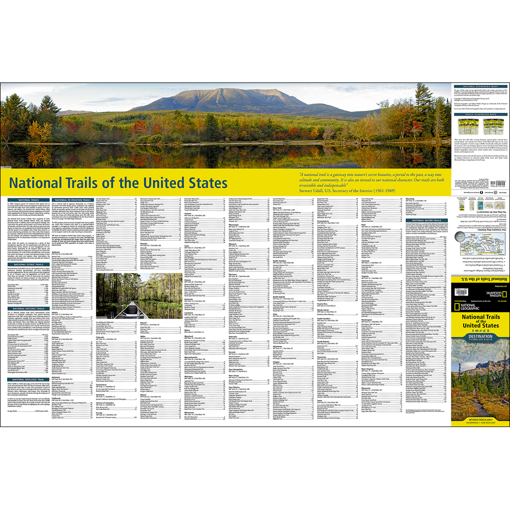
To help you plan your next adventure, the map includes a comprehensive index of all trails sorted by state. The design itself is a work of art, rendered in subtle earth tones with shaded mountain relief and intricate river systems.
Built for the trail, every Destination Map is printed on ultra-durable synthetic paper, making it completely waterproof, tear-resistant, and tough enough to withstand any journey.
Available in our Hobart store and online at Geographica.


Reviews
There are no reviews yet.