Description
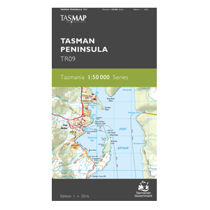
Tasman Peninsula 1:50,000 Topographic Map
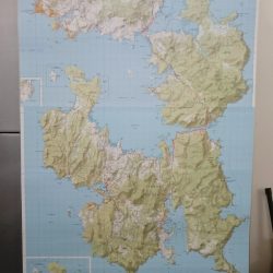
The Tasman Peninsula 1:50,000 Topographic Map covers the entire Tasman Peninsula.
Features on this map include Cape Raoul, Cape Pillar, Cape Hauy, Shipstern Bluff, Nubeena, White Beach, Fortescue Bay, Port Arthur and Eaglehawk Neck.
The historic sites at Port Arthur and Coal Mines are both included on the World Heritage List as part of the Australian Convict Sites. The coastal conditions vary from huge waves for surfers to sheltered bays sought by recreational fishers and boat owners.
For a list of walks on the Peninsula, see Peninsula Tracks: 35 Walks in and Around the Tasman National Park.

