Description
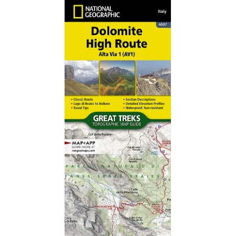
Dolomite High Route Alta Via 1 Map and Guide
The Alta Via n. 1 (High Route One) of the Dolomites is considered to be the most beautiful classic route in the entire Dolomite territory. It connects Lake Braies with Belluno, winds along a route of approximately 125 kilometers (78 miles), with 7,300 meters (23,950 feet) of altitude difference in 12 stages. The route cuts from north to south and is normally followed starting from Braies. The Alta Via n. 1 crosses five different mountain groups: the Braies Dolomites, the Fanes Group (Fanis), the Ampezzo Dolomites, the Northern Dolomites of Zoldo, and the Southern Dolomites of Zoldo.
The Dolomite High Route Alta Via 1 Map and Guide makes a perfect traveling companion when traversing these routes. A detailed description of each trail section is included that tells travelers about the many landmarks encountered along the way.
This booklet is printed on “Backcountry Tough” waterproof, tear-resistant paper. A full Lat/Long grid is printed on the map to aid with GPS navigation.

Reviews
There are no reviews yet.