Description
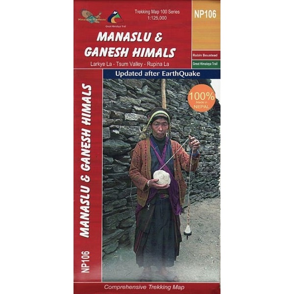
Manaslu & Ganesh Himals Trekking Map
The Manaslu & Ganesh Himals Trekking Map is a 1:100,000 scale, waterproof and tear-resistant map from Himalayan Maphouse.
The map shows the northern part of the Tsum Valley and the surrounding mountains including Ganesh (Yangra) as an inset and highlights treks north of Arughat Bazar and Besisahar, including the Manaslu Circuit, Ganesh Himal and Tsum Valley treks, Himal Chuli Base Camp Trek and Rupina La Trek.
Also highlighted are the relevant sections of the GHT Cultural Trail and the GHT High Route.
Contours are at 80m intervals. Route profile shows the Manaslu and Ganesh section of the GHT High Route between Dharapani and Tipling.


Reviews
There are no reviews yet.